Citywide Wildfire Evacuation Time Estimation Tool
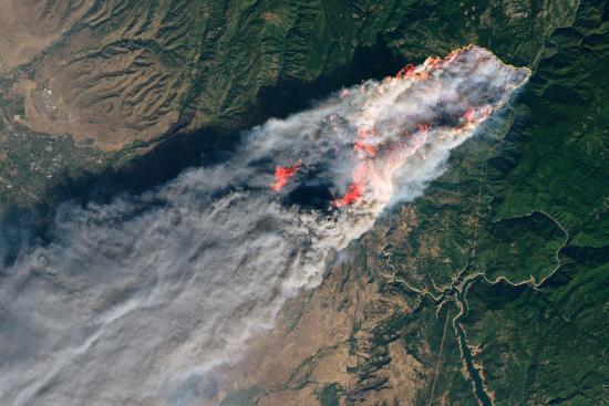
Wildfires are increasing in frequency and intensity across much of the western United States. Failures to plan for and respond to many of these wildfires have been deadly. The goal of our project is to build tools to help government agencies develop wildfire risk mitigation plans.
The core of our product consists of statistical models that calculate metrics like egress times, roadway connectivity, and resilience given various inputs such as roadway networks, traffic features, census data, and wildfire simulations. Accurate roadway network data is a critical input to calculate these metrics. Publicly available roadway configuration data availability is limited and does not include detailed lane configuration information. In order to obtain accurate roadway information, we use computer vision and deep learning techniques.
For ease of interpretation these metrics are presented with interactive maps that enable users to compare metrics across cities and plan for evacuations accordingly. Equipped with these planning tools, we hope city and state-wide decision makers, can plan ahead for the wildfires to come in the future.


